

technology for precision and safety
Powerful algorithms, vendor-independent integrations, and Swiss Made Innovation.
Powerful algorithms, vendor-independent integrations, and Swiss Made Innovation.

For sensor data analysis, we rely on proprietary algorithms and purpose-built evaluation pipelines. Developed by experts from the geomonitoring industry, they ensure that we always maintain full access to the evaluation process – and complete control over precision and quality.
Developed by specialists with deep experience in geomonitoring.
Maintain complete access and oversight of every evaluation step.
Achieve reliable, high-quality results for critical projects.
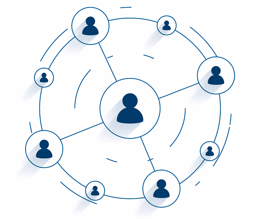
Our platform supports both established and cutting-edge interfaces in sensor technology. Sensor data can be integrated via FTP, SFTP, MQTT, and API. All interfaces are designed according to modern cybersecurity standards, ensuring maximum security during data transmission.
Compatible with a wide range of industry-standard and next-gen interfaces.
Built-in cybersecurity measures safeguard every data transfer.

Based on the latest insights in UI and UX, our platform guides users with clearly structured workflows. Operation is intuitive, easy to learn, and requires only minimal training. This allows our customers to focus entirely on their projects – rather than spending time on complex systems or lengthy training sessions.
Structured workflows that make operation simple and efficient.
Minimal training required for teams to get started.
Spend more time on critical work, not on navigating software.

Our platform always provides you with the latest technology. To optimally support your projects, we rely on artificial intelligence and smart features. From analyzing and evaluating sensor data to leveraging state-of-the-art language models in our cloud solution – we create added value through intelligent tools and set new standards in geomonitoring.
Transform raw sensor data into actionable insights with precision.
State-of-the-art language models and features that optimize workflows.
